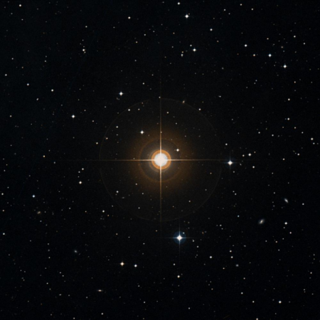
25-Eri (Star)

From South El Monte , 25-Eri is visible in the evening sky, becoming accessible around 18:27 (PST), 55° above your southern horizon, as dusk fades to darkness. It will then reach its highest point in the sky at 18:28, 55° above your southern horizon. It will continue to be observable until around 22:44, when it sinks below 20° above your western horizon.
|
Name
25-Eri
|
Object type
Star
|
| Right ascension: | 03h44m56s [4] |
| Declination: | −00°17'48" [4] |
| Constellation: | Eridanus |
| Magnitude: | 5.57 (V) [2] 7.42 (BT) [2] 5.72 (VT) [2] 5.06 (G) [4] 5.81 (BP) [4] 4.21 (RP) [4] |
| Distance: | 125.2 parsec 408.2 lightyrs [4] |
| B-V Color (mag): | 1.44 |
| Proper motion (speed): | 58.9 mas/yr[4] |
| Proper motion (pos ang): | 91.9° |
| Absolute mag (V): | 0.08 |
All times shown in South El Monte local time.

